Publisher: Imray Laurie Norie & Wilson
From Baird Maritime:
We do not normally review charts even though many of them are really fine works of art and literature. These, though, from the venerable English maritime publisher Imray Laurie Norie and Wilson are very special.
For starters, they are printed on waterproof paper called Pretex. That has obvious advantages, especially on smaller boats.
Second, they are primarily designed for use by yachtsmen so they are incredibly detailed. They are ideal for close in work.
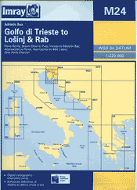
The four colour front face is wonderful but even the back side of each chart is covered in useful information.
Our review copy is one of some 27 available charts. On a scale of 1:220,000, it covers the north-east corner of the Adriatic from Monfalcone in Italy, via the Slovenian coast in its entirety to Olib in Croatia. A fascinating area. Other charts cover Greece, the Adriatic as far south as Bar, Corsica and Sardinia.
They really are about as good as it gets with paper charts. Very exciting.
Ordering information:
Imray Laurie Norie & Wilson,
St Ives, UK
Web: www.imray.com
