The Peruvian and Ecuadorian governments have recognised the maritime boundaries between the two countries, announced Peru's Minister of Foreign Affairs, José Antonio García Belaunde.
"The Foreign Minister of Ecuador [Ricardo Patiño], in Quito, and I, in Lima, have signed and made an exchange of identical notes by which we recognize the maritime boundary between Peru and Ecuador," the Peruvian diplomat assured.
These notes set the geographical parallel as the maritime boundary between Peru and Ecuador, taking into account the existence of islands in the area adjacent to the common land border, which is a special circumstance under international law, the agency Andina indicated.
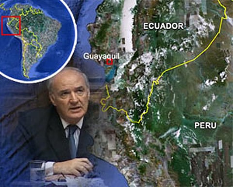
The agreements will allow the two countries to develop joint actions to recognise the Gulf of Guayaquil as a historic bay and to cover a sea area of internal water under the sovereignty of each country separately.
"The important thing is that we have established the maritime boundary between the two countries through an exchange of notes with the value of an international agreement," added Garcia Belaunde.
The next step is the submission of documents to the congress of the republic for its final approval.
"What is clear is that the agreements of 1952 and 1954 were fishery agreements and recently we have settled a boundary agreement with Ecuador that respects the parallels as long as there are islands, which is not the case of the maritime border with Chile," added the Minister of Foreign Affairs.
"This result is the triumph of an ongoing dialogue, which is frank and constructive, between both countries, and which is the result of the efforts of five years made by the presidents Alan García and Rafael Correa, and their governments, to deepen the understanding and integration of their people," highlighted the chancellor.
FIS (www.fis.com)

