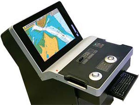
The promise of electronic chart display and information system (ECDIS) is so much more than a screen-based chart. The multi-layer functionality of an ECDIS opens up countless possibilities for displaying critical data, including weather overlays, scroll-over information on other vessels and navigational points, current and tidal information, and much more.
The key, however, is to deliver usable information without overwhelming and confusing the user with data.
eFairways was a research project set in motion by Kongsberg, backed by the Norwegian Research Council and supported by Jeppesen Marine, two Norwegian research bodies and the Norwegian Coastal Administration. The project's purpose was to bring more and better information, using the technology available, to decision-makers onboard, so they could better foresee dangerous scenarios.
"The eFairways project showed that new information and functions can be part of an integrated package in the ECDIS," said Bjørn Åge Hjøllo, Weather Services Product Manager at Jeppesen Marine.
"Being able to deliver integrated information services into the ECDIS is another step towards being a single point of contact for mission-critical navigation information, and an answer to user feedback gathered in the eFairway project."
The ECDIS system demonstrator sought to include new sources of data to the conventional navigation picture, in a rational way that improves situational awareness. One new tool was a method for presenting three-dimensional alert zones. Another brought highly accurate local weather information to the ECDIS. Finally, the coastal authority and a research group strived to bring current information into the picture.
"One particularly good application for current information is at the Mongstad refinery on Norway's west coast. The area is subject to strong currents, and the tankers coming or going in ballast are very sensitive to these flows. They want to get more information on these conditions," said Mr Hjøllo.
The project coordinators also looked closely at the user interface. One of the objectives was to make it simple to integrate local or unique information on top of the global bridge system, while managing the challenge of setting up intelligent monitoring of the ship from land, with a designated feed of only relevant information to the ship.
Though the project organisers recognise that the user interface requires more work, the ability to combine tasks in a common platform is a great benefit.
"This project went a long way to describing how the information flow from numerous sources could be integrated on an ECDIS. As a result of eFairways, we will see more and more information available on these systems," said Mr Hjøllo.
"The importance of industry partners, research partner and authorities working together is also quite unique and very valuable for us all."
For further information contact:
